
Share This
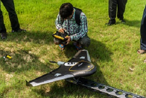
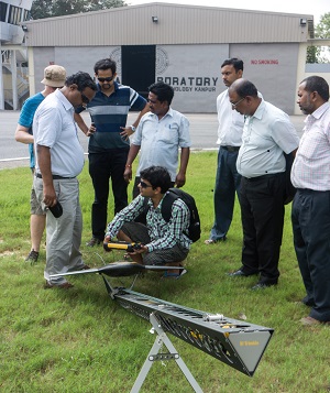
Mid morning after some pre-flight programming and checks we headed to the airstrip to fly the UX5. It launched from what can only be described as a giant sling which rocketed it into the air at, what i’m told, exceeded 65km/h. The flight is highly automated so piloting skills aren’t really necessary and it flew really well on its preset flight plan. The landing was slightly more dramatic where it took a slight tumble when landing and needed a propeller replacing but was otherwise unharmed.
When examining the images we realised that of the 2 identical cameras (one previously presumed a spare) one is actually Infrared Red (IR) so we ended up with IR images. This presents a greater opportunity now to image with IR which will enable us to remove buildings and vegetation such as trees from the DEMs to produce a more accurate surface flow model. We left the photos processing for as the huge files take a long time to process so went and had lunch.
In the afternoon we attended a Trimble surveying workshop on how to use their V10 Imaging Rover in conjunction with the base station which was useful as we will be using it to measure the ground points from our flight areas to check the accuracy of the UX5’s GPS and to accurately place points on the DEM.